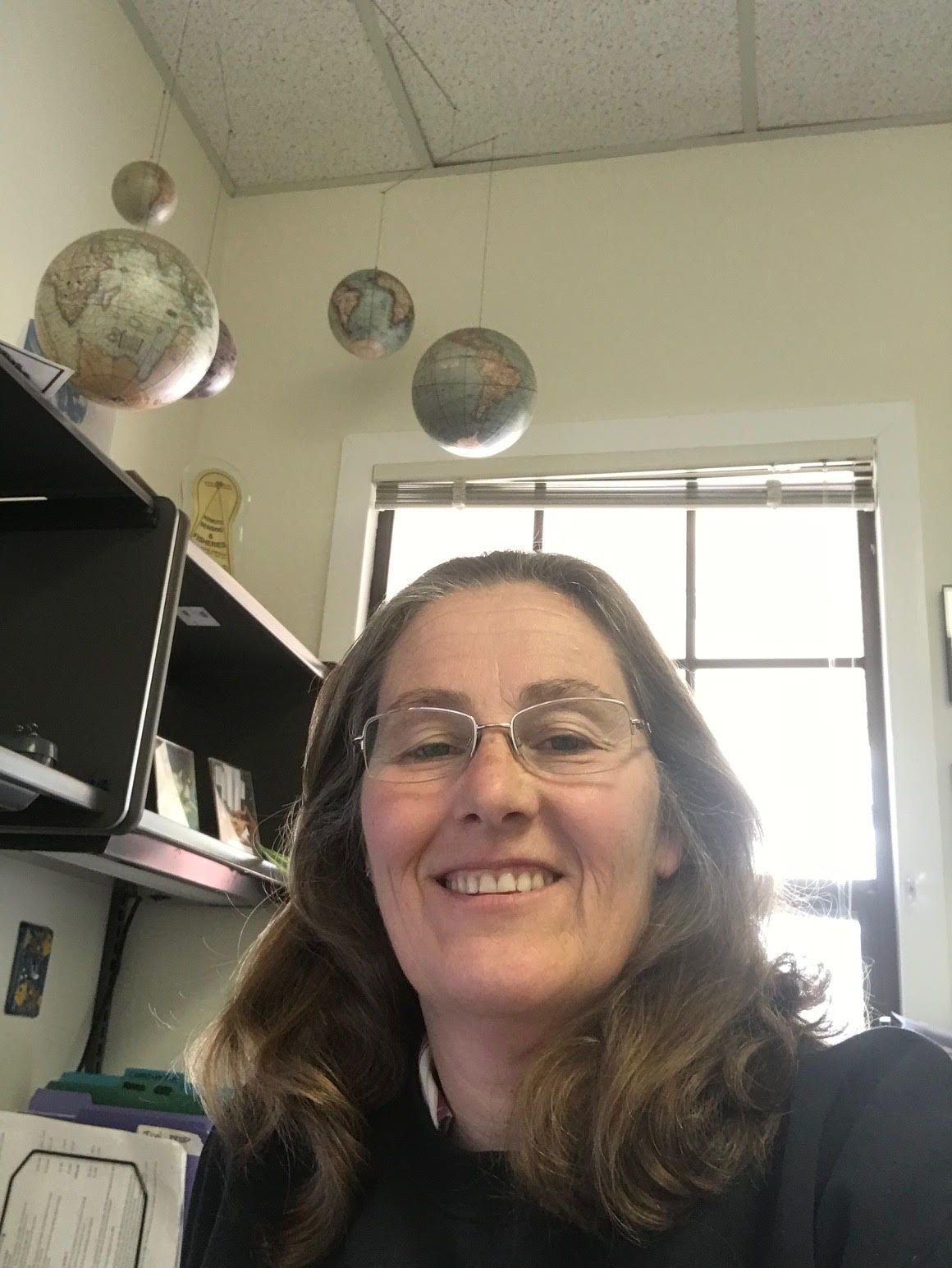
Cara Wilson, NOAA
Moss Landing Marine Labs Seminar Series - September 19th, 2019
Hosted by the Invertebrate Zoology Lab
MLML Seminar Room, 4pm
Open to the public

Cara Wilson is a satellite oceanographer for the Environmental Research Division (ERD) at NOAA’s Southwest Fisheries Science Center in Monterey CA and is the PI of two regional nodes of NOAA’s CoastWatch program – the West Coast Regional Node and PolarWatch, which are both housed at ERD. Her research interests are in using satellite data to examine bio-physical coupling in the surface ocean, with a particular focus on determining the biological and physical causes of the large chlorophyll blooms that often develop in late summer in the oligotrophic Pacific near 30°N. She received a Ph.D. in oceanography from Oregon State University in 1997, where she examined the physical dynamics of hydrothermal plumes. After getting her PhD she worked as the InterRidge Coordinator at the University Pierre et Marie Curie in Paris, France. Her introduction to remote sensing came with a post-doc at NASA’s Goddard Space Flight Center which involved analyzing TOPEX and SeaWiFS data. She joined NOAA in 2002 and has been active in increasing the satellite usage within the National Marine Fisheries Service. She is also the treasurer for PORSEC (Pan Ocean Remote Sensing Conference) and the current chair of the IOCCG (International Ocean Colour Coordinating Group).

